The ROAM 639 course
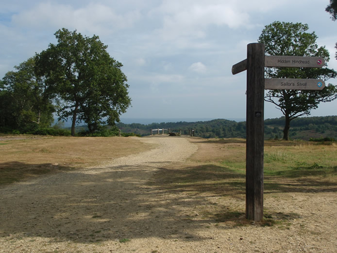
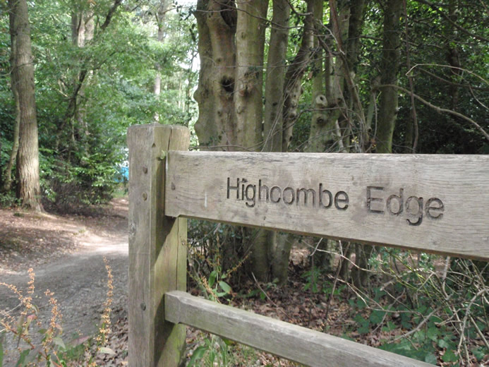
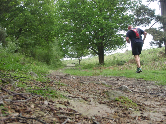
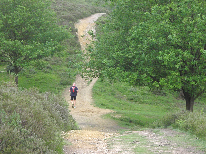
The route follows established trails in and around the Devil’s Punchbowl and Hindhead Commons. These cover 650 hectares (about 1600 acres) and are managed by the National Trust.
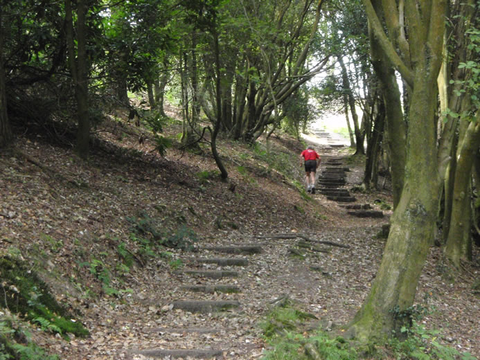
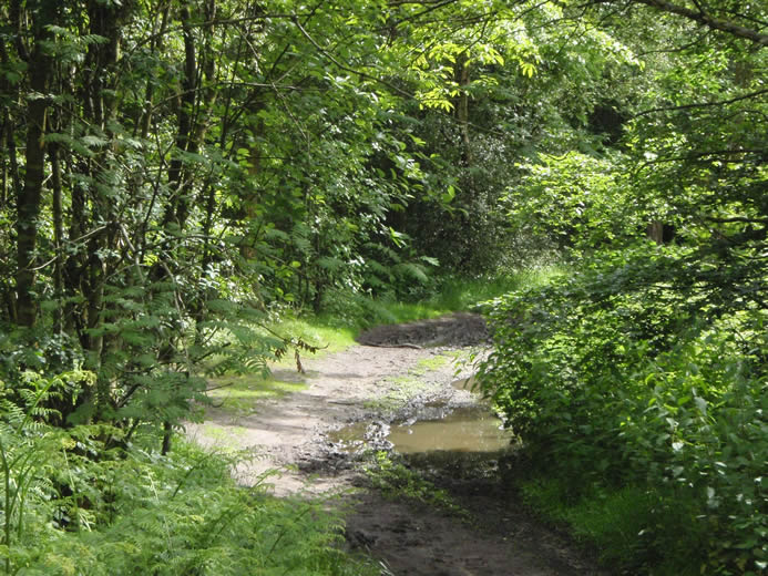
Rare lowland heath and semi- natural woodland cover most of the property together with a small area of wetland and fields of acid grassland. These habitats support many forms of wildlife that you may see on your visit.
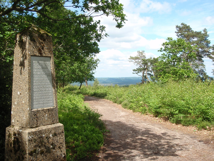
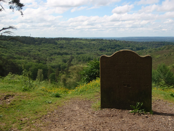
At the centre of the property is a sandstone ridge. The ridge runs from Hindhead village in the West to Gibbet Hill in the East. At a height of 272m (892 feet) above sea level Gibbet Hill is the second highest point in Surrey.
To the North of the ridge lies the steep- sided Devil’s Punchbowl, parts of which are gradually being restored to lowland heath.
Full route information is available on the National Trust website.
View full route